Agriculture
In-Situ Crop Area Mapping
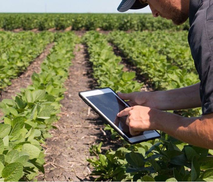
Establish an edge in the financial markets through superior market intelligence. Kumi Analytics identifies crop types and field boundaries to provide acreage estimates by crop type validated through continuous collection and processing of satellite imagery.
Hedge funds, commodity traders, fundamental traders
- Get early signals on production estimates to predict crop pricing
- Early insights into potentially inaccurate reports from government agencies
Supply chain
-
- Anticipate potential yields by crop type
- Identify location and sources of required crops

In-Situ Yield Analysis
Measure crop yield. Kumi Analytics derives crop yield information through a unique process of bimonthly analysis of satellite imagery, weather information and field observations.
Hedge funds, commodity traders, fundamental traders
- Get early trading signals to predict trends in crop pricing.
- Leverage regular updates to get ahead of the market and adjust strategies based on ever changing environmental conditions
Banking, Insurance, and Reinsurance
-
- Mitigate risk with yield analysis.
- Identify potential risks based on regular updates.
- Assess crop yield to better understand farmer production
- Determine farmer productivity and credit worthiness
©2022 Kumi Analytics Pte. Ltd. All Rights Reserved.